Mount Mitchell: Stand on the Highest Peak in the East
At 6,684 feet (2,037 m), the highest point east of the Mississippi River, and you can drive almost to the top.
The short version
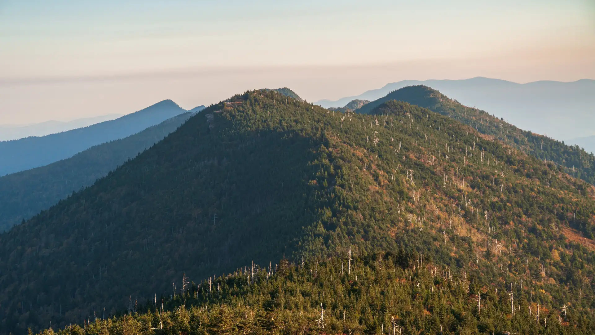
Mount Mitchell State Park was North Carolina's first state park, and its summit is the highest point in the eastern United States. A short paved path leads from the summit parking area to an observation deck with views across the Black Mountains.
It is often 20 degrees F (11 degrees C) colder than Asheville and frequently in the clouds, so pick a clear day and bring a warm layer. Longer trails link to nearby peaks for hikers who want more.

 By Chris and Andy. We judge activities the way a chef judges a restaurant.
Heads up: some links on this page are affiliate links. If you book through them, we earn a commission at no extra cost to you. That never changes what we tell you.
Know before you go
- Where
- Mount Mitchell State Park, off the Blue Ridge Parkway at Milepost 355.4
- From Asheville
- About 35 miles (56 km) northeast, roughly an hour on the Parkway
- Cost
- Free
- Summit
- 6,684 feet (2,037 m), the highest peak east of the Mississippi
- Best time
- Clear mornings from late spring through fall
- Season
- Open year-round with seasonal hours. Check Parkway access before you go.
- Official site
- NC State Parks: Mount Mitchell State Park
Things to do at Mount Mitchell
Walk to the summit deck
A paved path of about a quarter mile (0.4 km) climbs from the summit lot to the observation deck. It is short but steady.
Hike to Mount Craig
About 2 miles (3.2 km) round trip from the summit lot to the next peak on the ridge, with big views.
Visit the museum and restaurant
Seasonal services, including a small museum, gift shop and restaurant, usually run from May through October.
Drive the Parkway
The drive up is one of the most scenic stretches of the Blue Ridge Parkway.
Tours that go nearby
Rather not drive or plan it yourself? These local guides cover the area, with live dates and prices.
-
TP's Day Trip Adventures, LLC
Asheville
-
Asheville Day Trips
Asheville
-


Good to know
- Pack a jacket even in July. The summit is cold and windy.
- Fill up on gas before you leave Asheville. There are no stations along the way.
- If the summit is in the clouds, wait it out or come back early the next morning.
- Check the park and Parkway status first. Access can change after storms.
Mount Mitchell FAQ
How tall is Mount Mitchell?
6,684 feet (2,037 m), the highest peak east of the Mississippi River.
Can you drive to the top of Mount Mitchell?
Almost. You can park near the summit and walk a short paved path to the observation deck.
Is Mount Mitchell free?
Yes. There is no admission fee to the state park.
How far is Mount Mitchell from Asheville?
About 35 miles (56 km), roughly an hour by the Blue Ridge Parkway.